Site optimized for Internet Explorer and Firefox. Other browsers may have issues, so please use at own risk.
Overview
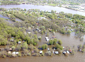
This online mapping tool may be used by floodplain managers, insurance agents, developers, real estate agents, local planners and citizens attempting to make informed decisions about the degree of flood risk faced by particular pieces of property.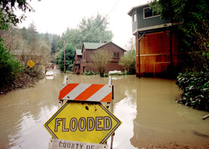 The principal function of the Flood Hazard Determination Tool is to provide users with a quick and easy initial determination of an identified location relative to flood hazards. The goal is to reduce the time and costs required to make these initial determinations. However, if there is any doubt in determining whether property is a flood risk, then the user should always consult the FEMA flood maps and seek certified elevation data unless the natural ground is absolutely above the level of the regulatory flood. Remember: if in doubt, it's not out!
Coverage
Digital flood hazard data is not yet available for three WV counties: Boone, Pleasants, and Webster. In the future new flood data will be added as part of FEMA's continual map modernization program.
Highlights
Flood Hazard Determination Tool: The flood hazard tool does the following:- Identifies whether a map location is within a 100-year flood hazard zone
- Displays the corresponding elevation value (accurate to +/- 10 vertical feet)
- Links the map location to FEMA's online map store whereby users can view or purchase official flood maps (option available only to counties with certified DFIRMs).
 Flood Hazard Layers: The mapping application incorporates the best available digital flood hazard data (e.g., Q3, preliminary DFIRM, and certified DFIRM). The floodway and map index layers are available for counties with certified Digital Flood Insurance Rate Maps (DFIRMs).
 Base Map Layers: The WV Flood Hazard Determination Tool incorporates the best available statewide base mapping layers, including the aerial photos captured in spring 2003 and 20-foot contours made available by the Statewide Addressing and Mapping Board (SAMB). In the near future, more spatially accurate and current base mapping data will be incorporated into the online mapping application.