

Sponsor Agency: WV Secretary of State
Sponsor Agency: WV State Historic Preservation Office
Sponsor Agency: WV Humanities Council and others.

Sponsor Agency: WV Department of Environmental Protection Tags
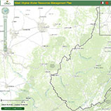
Sponsor Agency: WV Department of Environmental Protection - Water Use Section
Sponsor Agency: WV USDA
http://www.plantmaps.com/interactive-west-virginia-usda-plant-zone-hardiness-map.php
Sponsor Agency: WV National Flood Insurance Program Office, WV Division of Homeland Security & Emergency Management (WV DHSEM), WV GIS Technical Center
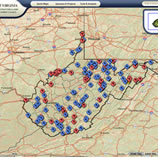
Sponsor Agency: WV Geological and Economic Survey
FEMA, WV DHSEM, WV GES
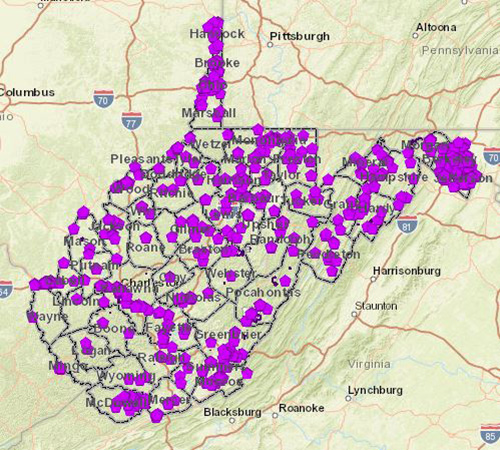
https://wvu.maps.arcgis.com/apps/webappviewer/index.html?id=cb01c47cfa884309b4f38dcd7542f805
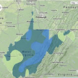
Sponsor Agency: WV Broadband Development Council, WV GES, WV DHSEM
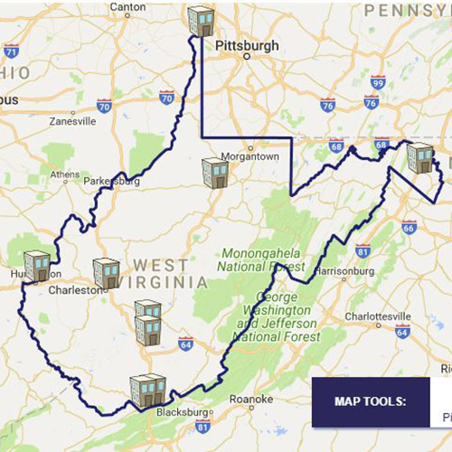
Sponsor Agency: WV Infrastructure and Development Council
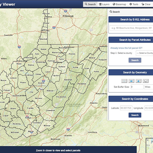
Sponsor Agency: WV Property Tax Division
Sponsor Agency: WV Department of Commerce
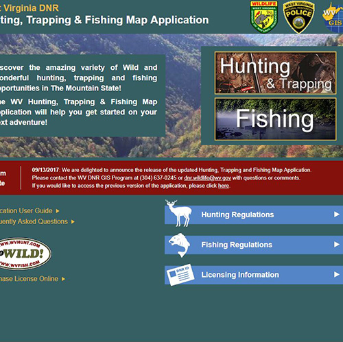
Sponsor Agency: WV DNR
Sponsor Agency: WV GIS Technical Center
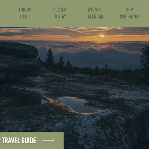
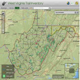
Sponsor Agency: WV Tourism Office
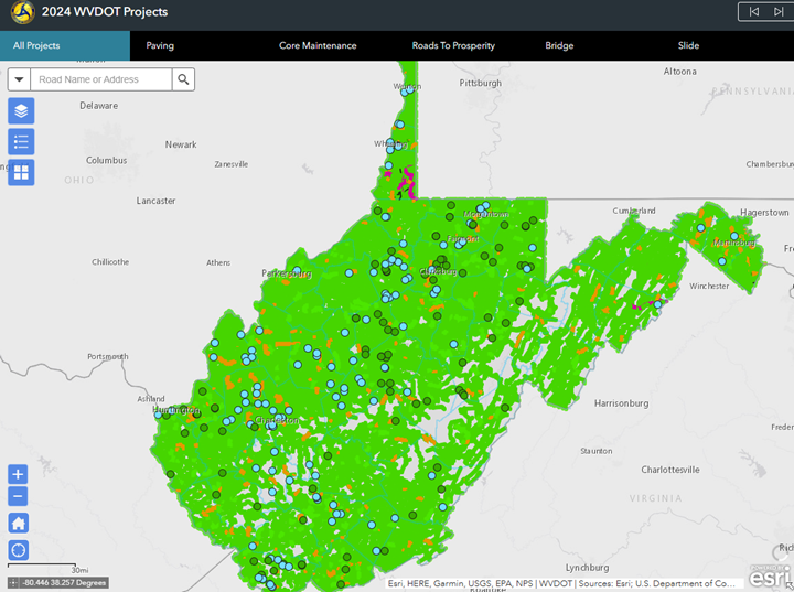
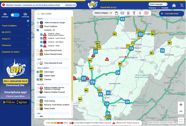
Sponsor Agency: WV Department of Transportation
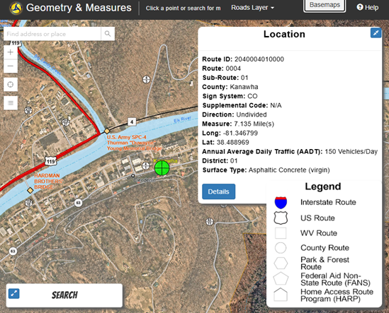
Sponsor Agency: WV Department of Transportation Information Technology Division
Sponsor Agency: WV Department of Transportation