
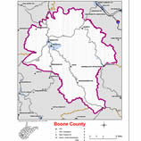
Sponsor Agency: WV GIS Technical Center
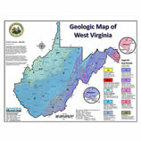
Sponsor Agency: West Virginia Geological and Economic Survey
The WV Geological and Economic Survey website also contains print maps for purchase much other geologic and mining data.
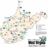
Sponsor Agency: WV State Parks and Forests
Sponsor Agency: WV Department of Environmental Protection
Sponsor Agency: USDA Forest Service
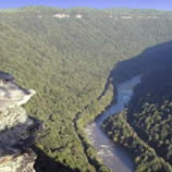
Sponsor Agency: National Park Service
https://www.nps.gov/neri/planyourvisit/upload/NERI_ParkMap.pdf
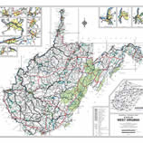
Sponsor Agency: WV Department of Transportation
https://gis.transportation.wv.gov/files/GeneralHighwayMap/genhwy.pdf
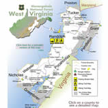
Sponsor Agency: WV Division of Tourism
https://gis.transportation.wv.gov/files/TourismMap/TourismMap.pdf
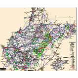
Sponsor Agency: WV Department of Transportation
https://transportation.wv.gov/IT/GIS/MAPS/Pages/WVMapGISSelect.aspx
Sponsor Agency: WV Legislature